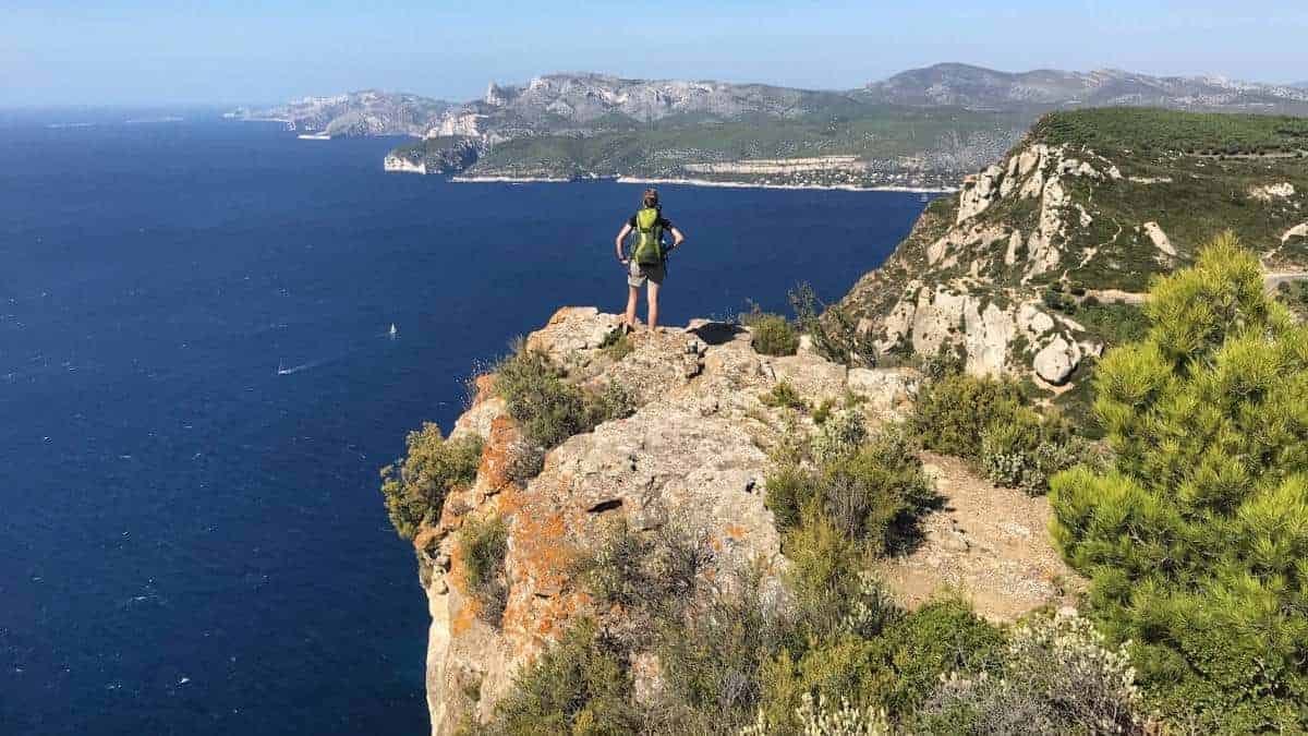
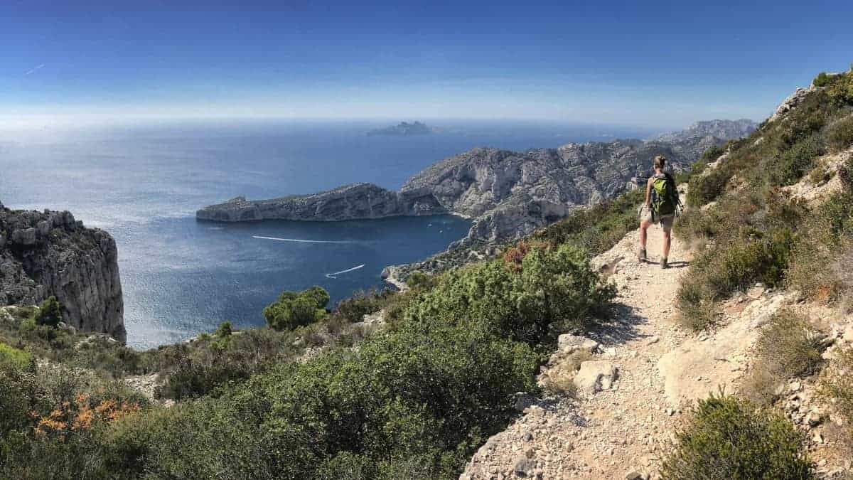
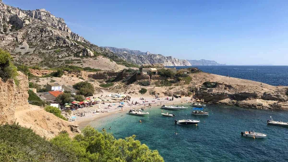
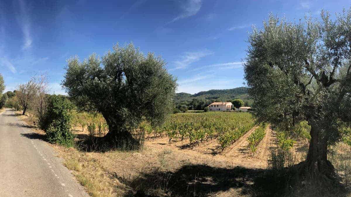
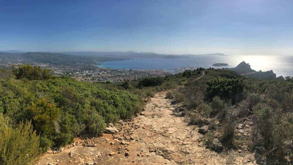
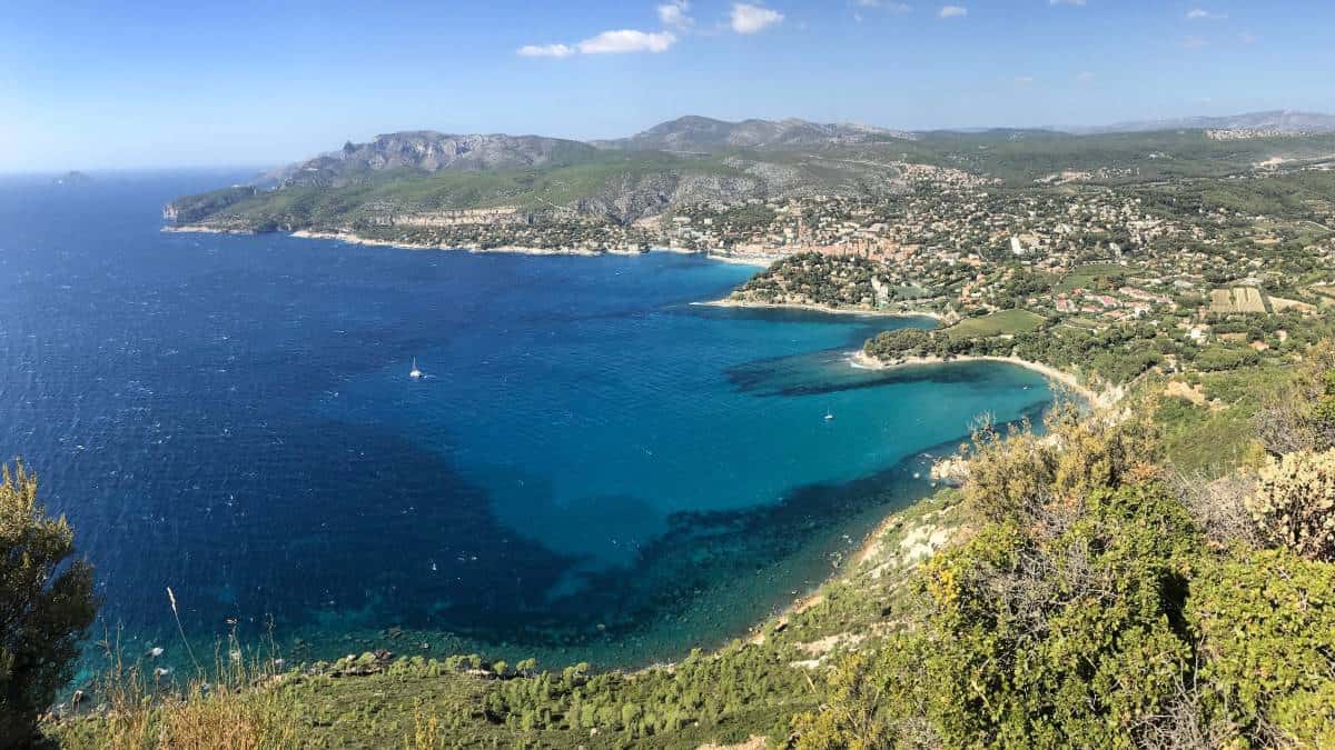
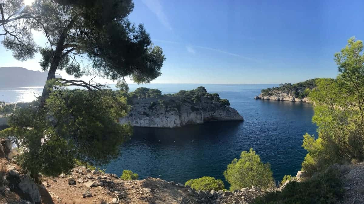
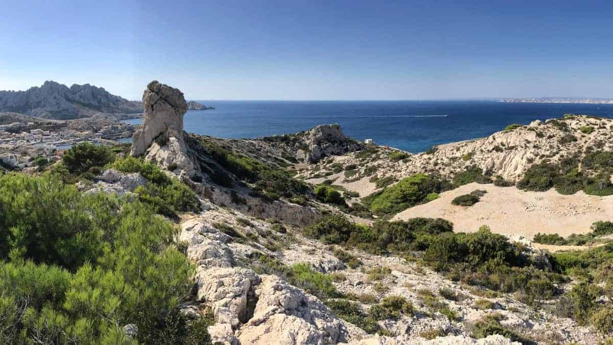
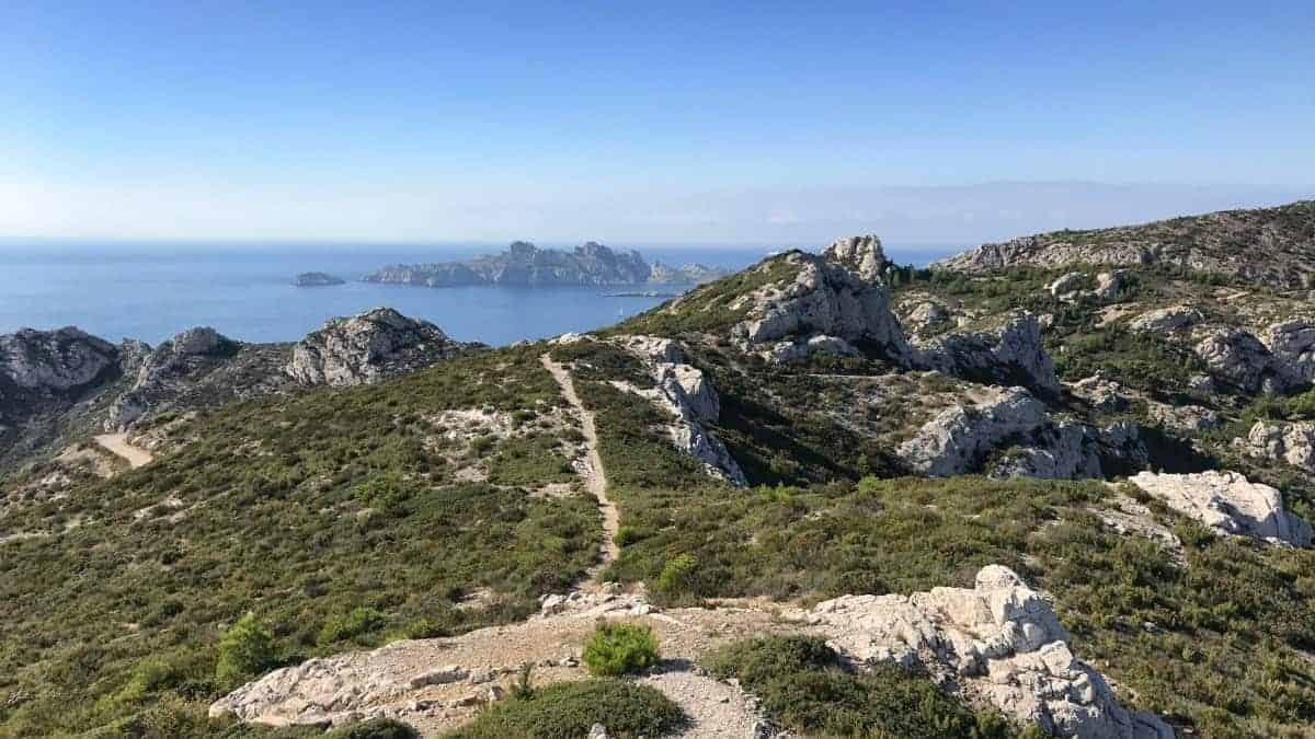
Narrow paths high above the cliffs, cliffs almost 400 meters high, views of fjords and the deep blue sea: when you look at the landscape you are almost willing to think of Norway - if it weren't for the many vineyards, the Mediterranean climate and everywhere the southern French way of life , How does that fit together?
The solution to the riddle: We are talking about the area around Marseille, in the south of which the Calanque massif extends. The spectacular, fjord-like bays and the rugged little islets are thanks to these small mountains.
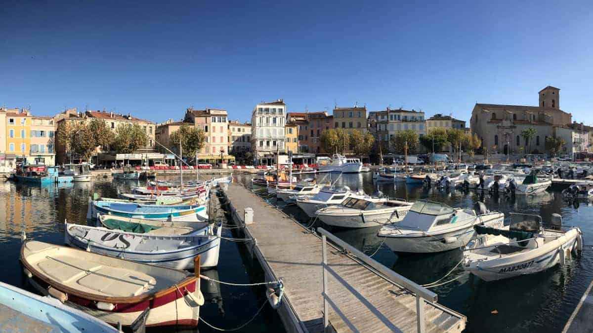
Starting from Bandol, a small coastal town on the Côte d'Azur, the "Coastal Hiking Trail Marseille" designed by us leads (www.kuestenwanderweg-marseille.de) in five stages along the French Mediterranean coast towards Marseille. Most of the route runs along the GR 51 long-distance hiking trail. At two points, however, we switch to the yellow-marked coastal hiking trail "Sentier Littoral" and the "Sentier du Cap Canaille". This has the advantage, among other things, that we do not have to do without the impressive panoramic hike on Cap Canaille, which leads over the highest cliffs in France and which is unfortunately left out of the GR 51.
The ideal travel time for Marseille and the surrounding area is in spring between March and June and in autumn from mid-September until November. In midsummer, the Parc National des Calanques is often closed to hikers due to the risk of forest fires, so that the last two stages are not accessible.
The Calanque coast near Marseille with its fantastic hiking opportunities would probably have remained completely unknown to us if we had not been made aware of this region by an exciting thriller by Cay Rademacher. In the fourth volume of his Provence crime novels, Cay Rademacher has his Capitaine Roger Blanc investigated in the Calanques ...
Inspiring pictures, free route downloads and much more can be found on our separate info website: www.kuestenwanderweg-marseille.de.
Available downloads
-
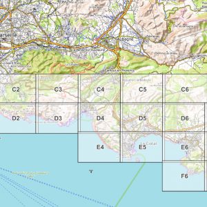
Marseille Coastal Path: PDF hiking map for download (1: 20.000)
4,90 €
Contains 19% VAT.



9 January 2022
is the GR51 part of the bigger GR5 or a separate one?
9 January 2022
Hello Milan,
the GR5 and the GR51 cross near Nice, but are completely different routes.
Regards
Frank
July 15, 2022
Hello Frank,
I am traveling to Marseille with my boyfriend soon and we would love to walk your trail! It looks very nice.
Do you happen to know if there is camping along the route? We would like to just travel with a tent and save on accommodation.
Lovely wishes,
Leonie
July 21, 2022
Hello, Leonie,
Yes, there are official campsites in many places, just search on Google Maps or similar. I have read various statements about wild camping in France (forbidden? tolerated?). However, I generally advise against wild camping in very touristy regions – especially in southern France right on the coast.
Regards
Frank
September 18, 2022
Hello,
Tout d'abord, un big merci pour ce partage! :)
Conseillez vous également le chemin in the other sens ? Nous prévoyons de partir de Marseille et aimerions bien finish près de La Cadière d'Azur.
Sincerely.
Dimitri
September 19, 2022
Hello Dimitri,
In principle, you can hike the trail in both directions, for technical reasons there is nothing wrong with your plan. I deliberately planned the hiking route as shown here. Why? Because the hiking route becomes more beautiful from day to day. In my opinion, stages 4 and 5 are the highlights of the hike, so I put them at the end for dramaturgical reasons :-)
Regards
Frank
26. February 2023
Hello Frank,
Is the change done with the dog?
26. February 2023
Hi Anna,
yes, I think that's no problem. The choice of accommodation is probably a bit more limited, but in principle the tour should also be doable with a dog.
Regards
Frank
March 6, 2023
Hello Frank,
is this hike also suitable for older people? I plan to hike in this area with my mom (66). She is already fit, but we would like to have your opinion on this before we plan the trip..
Do you have any other recommendations for routes around Marseille that are more suitable for seniors?
Thank you,
Amro
March 12, 2023
Hello Amro,
are you planning the hike as a long-distance hike (with your own luggage on your back)? Does your mom have experience with this kind of long-distance hike, eg from the Alps? If not, then I would advise against it... However, you can also do large parts of the long-distance hike as individual day hikes, so you have much less luggage to carry and still have great hiking days. The following link for this: https://www.kuestenwanderweg-marseille.de/variante-wanderurlaub-mit-fester-unterkunft-in-marseille/.
I hope this helps you!
Regards
Frank
March 29, 2023
Hello Frank,
If I buy your GPS and map material, is there also the function to be navigated automatically (e.g. via google and then with voice announcement) or do I always have to look at my cell phone?
Your hikes all look really exciting, but I don't quite trust myself with the map alone.
Best wishes Jana
2 April 2023
Hi Jana,
Yes, some GPS outdoor apps offer such a navigation function. However, I've never tried that. A description of how this should work can be found under the following link:
https://www.outdooractive.com/de/knowledgepage/alle-touren-navigieren-und-entspannt-ans-ziel-kommen-/44983809/
Maybe you can test it with a tour in your area.
Regards
Frank
June 14, 2023
Dear Frank, a little late, but an even bigger THANK YOU for the detailed description of the hiking tour. We hiked this and it was a really great holiday! Without your website we would never have come up with it. We hike a lot, also multi-day tours, but I'm not super sporty - I found the tour quite demanding (especially the last two days). I didn't expect it to be so much up and down (I should have read the description more carefully :D). But the effort is more than made up for by the beautiful scenery.
Kind regards, Sarah
June 15, 2023
Hello Sarah!
That makes me very happy! It's quite a walk up and down, but the view is the most spectacular from the top :-)
Best regards,
Frank
June 15, 2023
Dear Frank,
It is indeed a very beautiful walk. The scenery is magnificent. However, I would like to add that the walk for dogs is quite hard. The underground is rocky for the paws (dog shoes!) and there are many high steps to take, which exhauts them extremely. My dog is very sportive and she did it, but she clearly suffered joint pain the last couple of days.
June 16, 2023
Hello Ann!
That's right, the hike is certainly very strenuous for dogs. It's great that you made it anyway!
Regards
Frank
July 28, 2023
Dear Frank, I bought the Gr 51 tickets yesterday and to be honest I'm disappointed. They don't do me any good...
Will plan it based on the stages on Komoot. Best regards, Daniela
July 28, 2023
Hello Daniela,
can you be a bit more specific as to why you are disappointed? Is something missing from the product description for the PDF cards?
The idea behind the PDF maps is actually two things:
Regards
Frank
August 11, 2023
Dear Frank, my brother and I walked through the Calanques a few months ago. We followed your guide to the letter, including the lodging suggestions, and we had a great time. It's a fantastic area with beautiful scenery and we couldn't have managed this hike without your guide! The GPX files were super easy to use in Komoot, and the descriptions of each stage prepared us for each day ahead. Thank you for providing such exhaustive and detailed instructions!
August 12, 2023
Hello Ralitsa,
Thank you for your lovely feedback, I appreciate that!
Regards
Frank
9 October 2023
Hello Frank,
Thank you for the information about this tour! Unfortunately I only have 4 days to hike. The start of stage 2 is difficult to reach by public transport. Do you have any idea? Maybe an alternative route?
9 October 2023
Hello Leona,
In that case I would skip stage 2 completely (it is the least spectacular in terms of landscape) and shorten stage 1 slightly. In other words: At km 12,5 of stage 1, take a longer break on the beach in Saint-Cyr sur-Mer and from there continue to the accommodation in La Ciotat (either by bus or by train). See also Barbara’s report: https://www.kuestenwanderweg-marseille.de/fragen-erfahrungsberichte-und-tipps-zum-kuestenwanderweg-marseille/#comment-882
Regards
Frank
18 October 2023
Hello Frank,
In 2020 we followed your recommendation and hiked in the Algarve. Now we would like to hike in Marseille. Unfortunately, I'm not really free from giddiness. Is the hike still doable?
Regards
Marko
18 October 2023
Hi Marko,
That's a good question - and unfortunately I find it difficult to answer if you're not affected yourself. For some, even short spots close to the edge are scary, while others don't even notice them as critical along the way.
The special feature of the hike on the coast near Marseille is definitely the cliff landscape - you can find some pretty spectacular photos on the website. Stage 3 is definitely such a “highlight” (deliberately in quotation marks). However, you don't necessarily have to walk as close to the edge as I do from time to time for photos, and there is also the coastal road parallel to the hiking trail just a few meters away, which you could switch to if necessary. So even if you're afraid of heights, you'll definitely reach your destination.
Stage 4: Here you would have to use the following picture to judge whether this makes you dizzy: https://www.kuestenwanderweg-marseille.de/wp-content/uploads/K%C3%BCstenwanderweg-Marseille-Etappe-4-Aussichtsreiches-Wandern-auf-dem-GR51.jpg. This is one of those places where I'm not sure whether it's unproblematic or not.
Stage 5: The only thing that comes to mind spontaneously is the small climbing section towards the end, but there is a workaround for it.
I hope this assessment helps you a little!
Regards
Frank
7 November 2023
Hello,
Merci pour cet itinéraire, pensez vous que cela soit faisable fin fevrier ?
Sincerely
Stéphane
7 November 2023
Hello Stephane!
I think the hike can in principle be done at the end of February - provided you have good footwear in case it is wet and slippery.
Regards
Frank
6 January 2024
Hello Frank,
We want a part of this route open with only children. Wet ever have an overnight stay in Cassis and Les Gaudes? The stage is 20 km long, we can now never go well in the shadow of the good thing that was done, of which it is very hoogteverschillen. Can you help the army?
The 20 km can be climbed, and children can also climb. We're happy!
Yours faithfully,
Rianne
9 January 2024
Hello Ryan,
If I understand you correctly, would you like to hike stage 4 and stage 5 in one day? I would actually advise against this. That would be over 1.200 meters of ascent and descent in one day. This is quite demanding as an adult with overnight luggage and, in my opinion, far too much with children (depending on their age). On our tour we stayed overnight with William, who runs a very friendly and individual B&B on the edge of the Calanque National Park (see https://www.kuestenwanderweg-marseille.de/etappe-4-unterkunft/). Even with this overnight stop, the route from Cassis to William is quite strenuous, taking around 6:30 hours. For comparison: it takes about 20:5 hours to cover 00 km on the flat (see https://www.wanderndeluxe.de/wanderzeit-berechnen-strecke-hoehenmeter/.
I hope this helps you with your planning!
Regards
Frank
March 9, 2024
First of all, thank you for the great, detailed and informative tour description!
We want to hike it in two weeks. Since I definitely don't want to climb, can you specify where the one climbing spot on stage 5 you're talking about is and how to get around it?
Thank you in advance!
Kind regards, Iris
March 9, 2024
Hello Iris,
I have now marked the spot as a waypoint on the map for stage 5 between kilometers 10 and 11. The workaround is simple: Instead of taking the via ferrata, just continue straight ahead and then loop back along the dashed path marked on the map: https://www.kuestenwanderweg-marseille.de/etappe-5-karte/.
Have fun hiking!
Frank
March 16, 2024
Thank you very much, dear Frank!!!