Attention: Viewranger has been switched off!
The instructions below are therefore outdated - the Viewranger app has been replaced by Outdooractive. But don't worry - Outdooractive also has extensive map material for offline storage on your smartphone! However, a PRO membership is required for this. All information about the functions and prices of the PRO membership is available directly on the website at Outdooractive.com.
We have put together more information about the Outdooractive app here.
Viewranger (Instructions are outdated!)
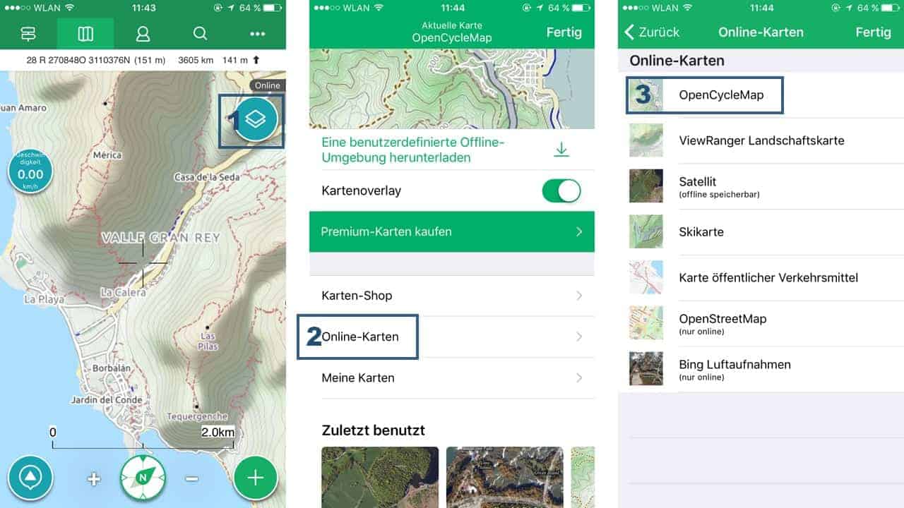
The Viewranger app offers a wealth of functions, including a whole range of chargeable and free maps. From our point of view, the following map, which can be used free of charge, is a very good choice for hiking and outdoor activities: The OpenCycleMap is based on the OpenStreetMap project and was originally designed for cycling. OpenCycleMap is at least as good to use for hiking: on the one hand because of the contour lines shown and on the other hand because bike paths, footpaths and hiking trails are also shown in dashed lines.
Tip: To get a feel for the quality of the map material, you should explore a familiar area on the map. It doesn't necessarily have to be a hiking area: Even if you live in the city, you can discover many interesting details with OpenCycleMap: passageways and backyards, pedestrian paths in parks, short cuts and much more.
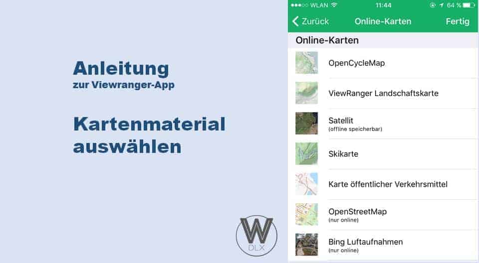
In the View Ranger app, OpenCycleMap can be set with three clicks, starting from the main view:


March 7, 2019
Where can I get a detailed description or instructions for my ViewRanger app to familiarize myself with it. I only ever find fragments on the Internet. I also want to be able to use the app. So I pay annual contribution and can not acquire the conditions step by step, too bad!
March 8, 2019
Hello Hans-Werner,
I can understand your problem, after all they are official help pages of the ViewRanger app currently only available in English. Have you ever looked there? Otherwise, the ViewRanger team has created some instruction videos that can be found on YouTube:
https://www.youtube.com/playlist?list=PLvvcSjVuUG0mbJp9loEKEAQBnqrsnMr8t
As far as I know, the annual contribution only applies to the premium version, the basic version is free of charge and is actually sufficient for normal users.
Regards
Frank
30 December 2020
I also purchased this app, I need it to record and evaluate my hiking tours.
So for a) the start and b) the end point are important, how can I program this?
7 January 2021
Good morning service, I have a problem and cannot record a track since today. Yesterday could still work with it. Why is that no longer possible. Please answer. Have a nice day. Bernd Richter
19 October 2022
The Viewranger app is no longer available, only outdooractive. Can I also enter the Algarve hike there?