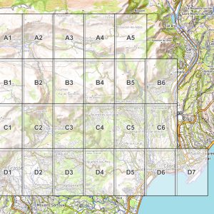
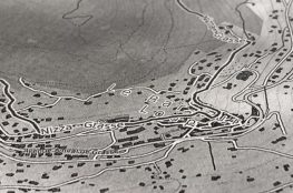
Map for stage 1
Directions
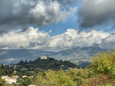
The first stage of our long-distance hike is quite short and meant to warm you up: from the coast to Saint-Jeannet, it is only about 13 km and 450 meters in altitude.
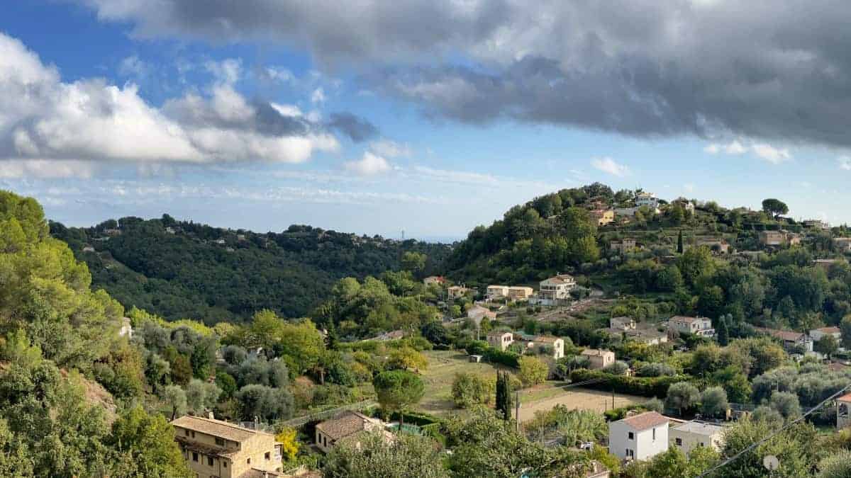
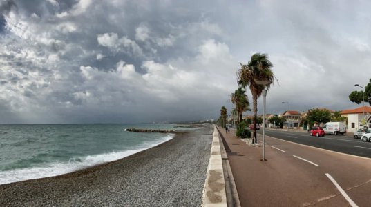
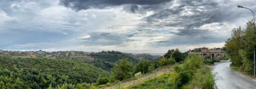
Since the coastline around Nice is heavily built up, the first two kilometers run through urban areas before we turn onto a small side street (Chemin de la Maure). This takes us in serpentines to a ridge on which we hike inland. With increasing distance from the coast, the traffic becomes less, the buildings are sparser and the villas are more elegant.
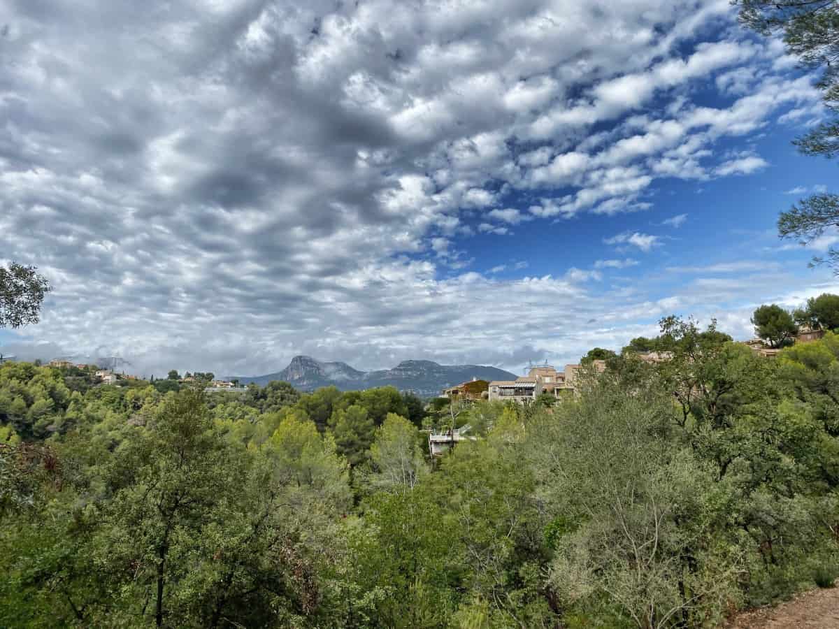
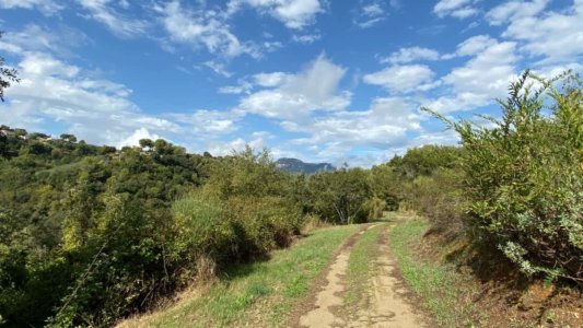
Up to km 7 we are unfortunately on the asphalt. The second part of the route is much closer to nature and largely consists of field or forest paths. We also meet the first red and white markings on the GR653A, which we follow for a short distance.
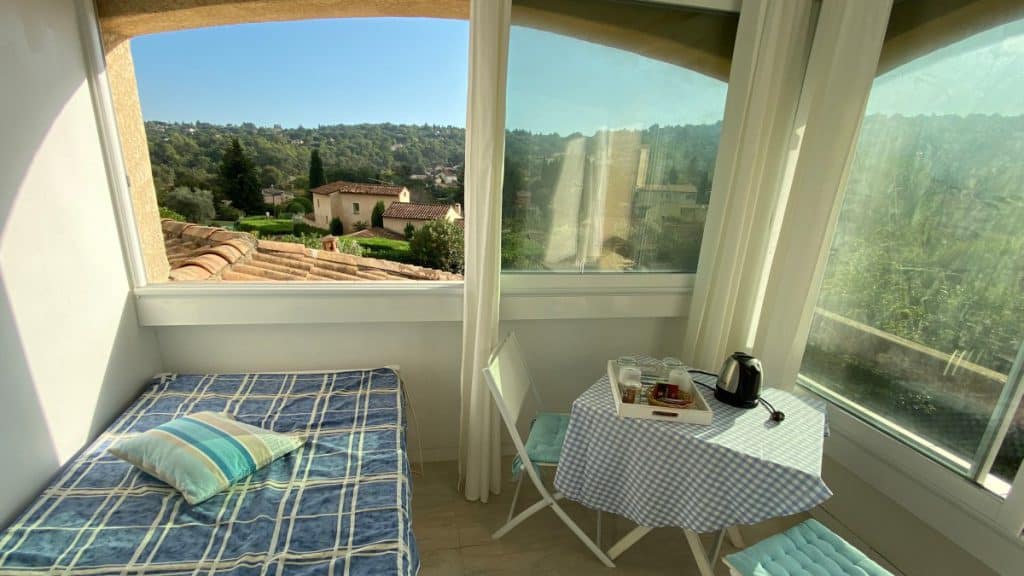
Since the accommodations in Saint-Jeannet are quite scattered, the route we have drawn towards the end - depending on the chosen accommodation - must be modified individually (see Accommodation in Saint-Jeannet). For this reason, we have used the central roundabout as a milestone, from which you can get to the higher old town of Saint-Jeannet. There are several restaurants and a supermarket in the immediate vicinity of the roundabout, so you will be heading to this point as a hiker anyway, even if you spend a little away.
Catering on the go
On stage 1 we didn't see any open restaurants on the way. The supply of provisions is ensured by a large Intermarché supermarket directly on the route (about 1 km from the start of the stage, see location) Google Maps).
Accommodation on stage 1:
Available downloads
-
Nice - Grasse: PDF hiking map for download (1: 20.000)
4,90 €
Contains 19% VAT. -
Nice - Grasse: GPX file download
0,00 €
Contains 19% VAT.

