Verfügbare Downloads
-
Malta und Gozo: PDF-Wanderkarte als Download (1:25.000)
5,90 €
Enthält 19% MwSt. -
Malta und Gozo: GPX-Datei-Download
0,00 €
Enthält 19% MwSt.
![Malta und Gozo: PDF-Wanderkarte als Download (1:25.000) [Digital]](https://www.wanderndeluxe.de/wp-content/uploads/Vorschau-pdf-Wanderkarte-Malta-Gozo-Blattübersicht-2020-300x300.jpg)
![Malta und Gozo: GPX-Datei-Download [Digital]](https://www.wanderndeluxe.de/wp-content/uploads/GPX-Dateidownload-Fernwanderweg-Malta-Gozo-2020-300x300.jpg)
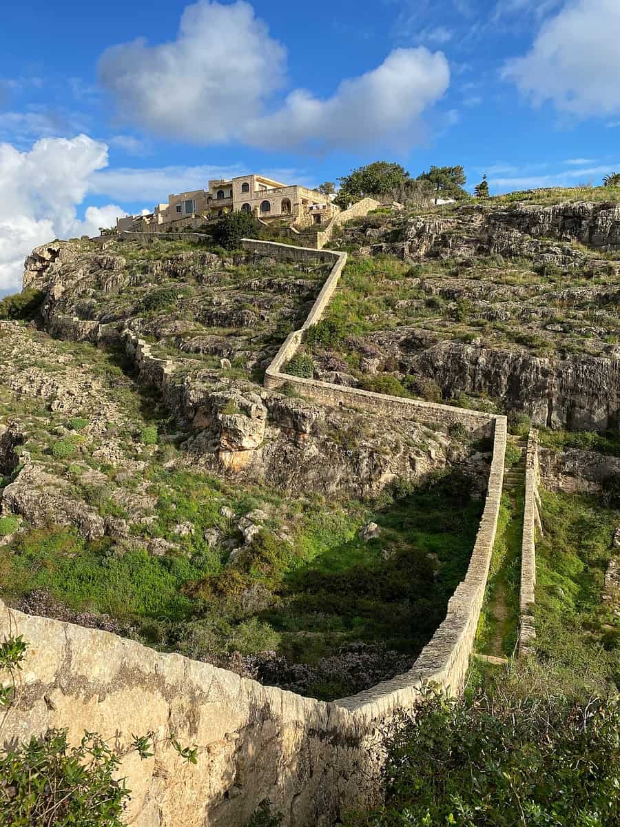
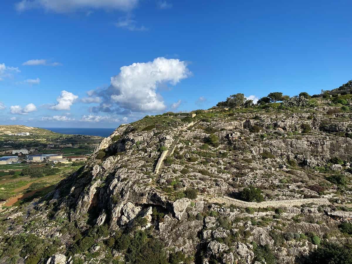
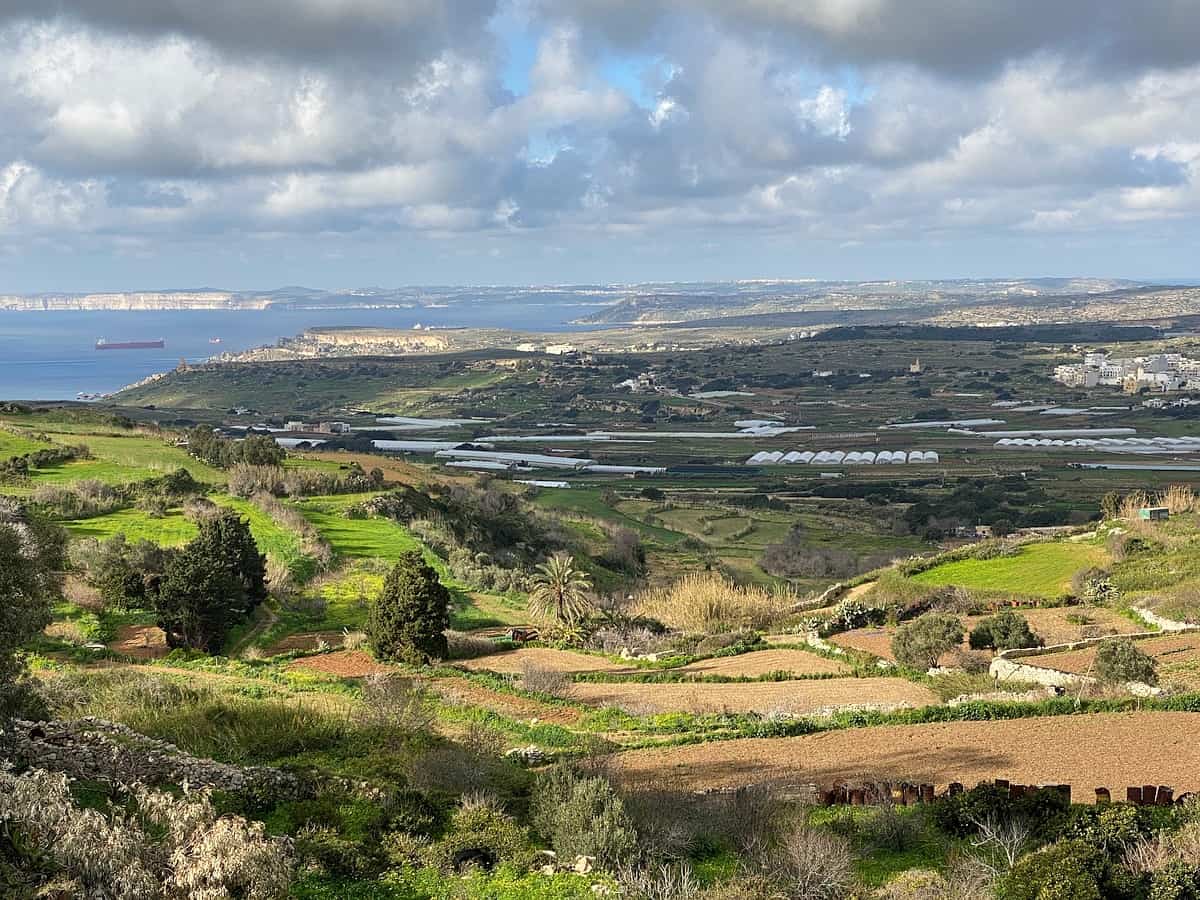
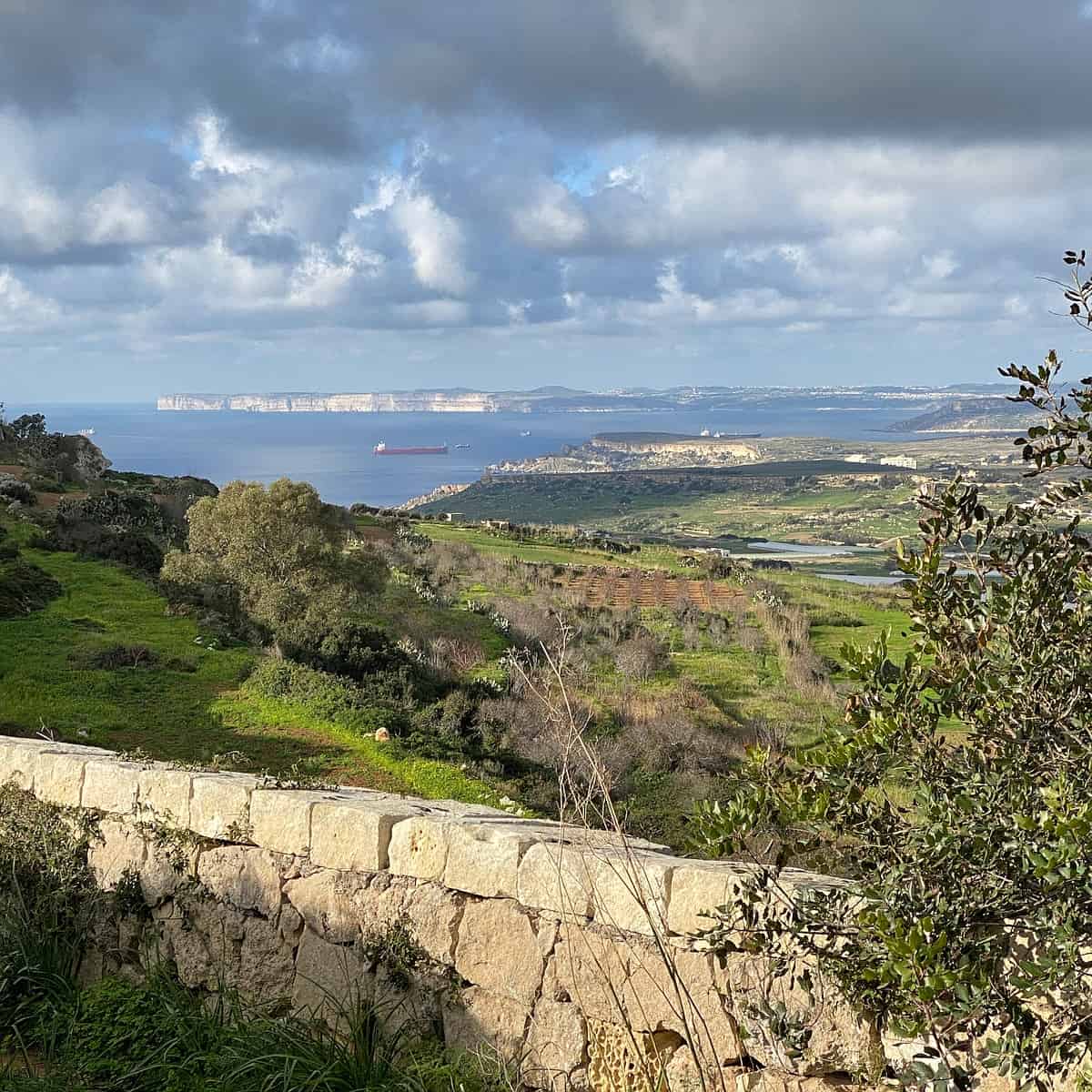
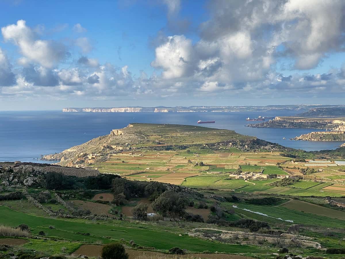
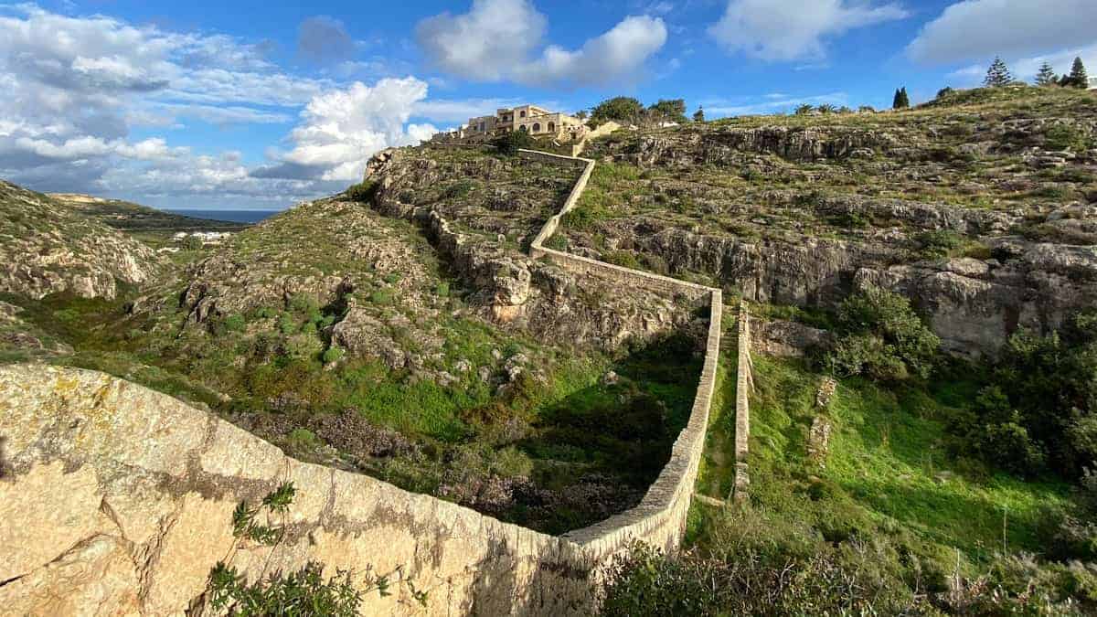
Bilder von den „Victoria Lines“


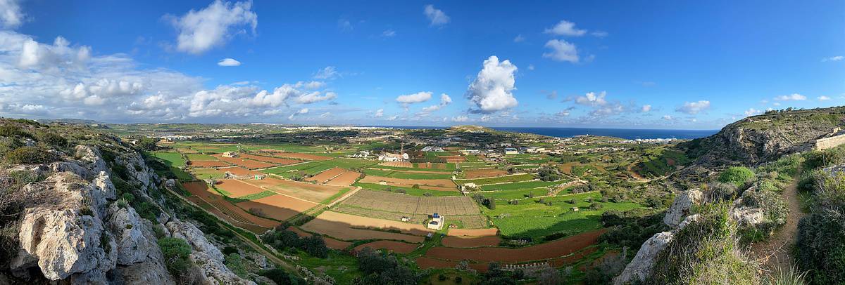


Strecke: 23,1km
Anstieg/Abstieg: 564m/535m
Dauer: 08:00h
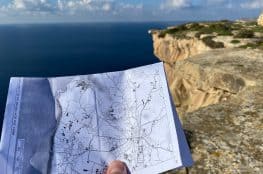
Höhendiagramm: siehe Karte (Klick auf Button rechts unten)
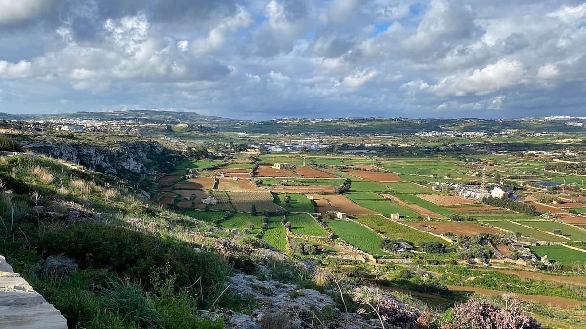
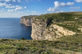
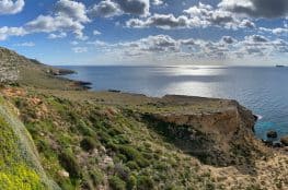
Die "Victoria Lines" sind eine jahrhundertealte, militärische Befestigungsanlage im nördlichen Teil von Malta, bestehend aus mehreren Wachtürmen und Festungen, die mit einer langen Mauer verbunden sind. Ein Teil der Anlagen wird auch heute noch militärisch genutzt. 1998 wurden die "Victoria Lines" von Malta für die Aufnahme ins UNESCO-Weltkulturerbe nominiert.
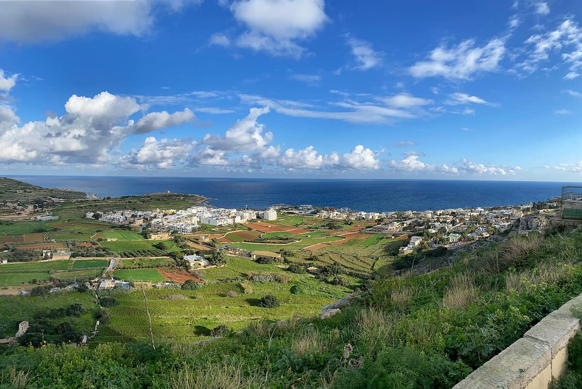
Die Verteidigungsanlage verläuft einmal quer über die Insel Malta entlang einer natürlichen Erhebung. Wer die "Victoria Lines" auf einer Wanderung erkunden möchte, startet am besten im Osten der Insel und wandert dann nach Westen (Start: Bushaltestelle Kosta). Die Wanderstrecke endet in Mgarr. Hier ist eine Einkehr im Restaurant United sehr empfehlenswert (Link: www.unitedmgarr.com).
Die Wanderstrecke entlang der "Victoria Lines" ist als GPX-Datei-Download erhältlich (im Paket mit den 6 Etappen der Fernwanderung Malta-Gozo) und auch in der dazu passenden PDF-Wanderkarte eingezeichnet.
5,90 €
0,00 €
4. November 2020
From Fort Bingemma to Bingemma Gap, Dwejra: the detour shown on the map (detail reproduced here) is NOT necessary. The farmhouse seems to block the route but it is possible to walk around it and regain the Victoria Lines infantry wall which can then be followed across Bingemma Heights, following the contour of the Great Fault.
25. Februar 2023
Hello
Late February 2023, my wife and I used the above data to walk the Victoria line. It was sunny, with approx. 20°C.
We started as indicated from Kosta bus station, around 10h30. The path was easy to follow thanks to our GPS and the map. It would deserve more cleaning / branch cutting to be total pleasure.
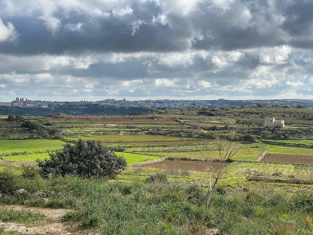
Just before Mosta, the trail becomes the road Triq Il Fortizza Tal Mosta, around a big quarry HM22. Not very comfortable, with plenty of cars and trucks going fast. Nice places to have a lunch down Wied Il-Għasel, close from the stream, with shadows and fresh air.
We stopped following the path at „Victoria Lines“ as per google (https://goo.gl/maps/MJBjdQgmuj2bf3Cq8), going straight to the North to Binġemma then L-Imġarr without going to the far West.
We reached L-Imġarr at 4 pm and enjoyed a cold beer and orange juice (guess who choose what). Quite an easy ride, that I do not recommend to perform during hot weather.
Many thanks to Franck for this well documented trail.
26. Februar 2023
Hallo Biguet!Vielen Dank für eure Rückmeldung! Das freut mich sehr!
29. März 2025
For whoever who may like it, we did a video about the history of the wall, nice to learn before or after visiting: https://www.youtube.com/watch?v=zo_yLFw0BIw
Feel free to share the video here as an embed!